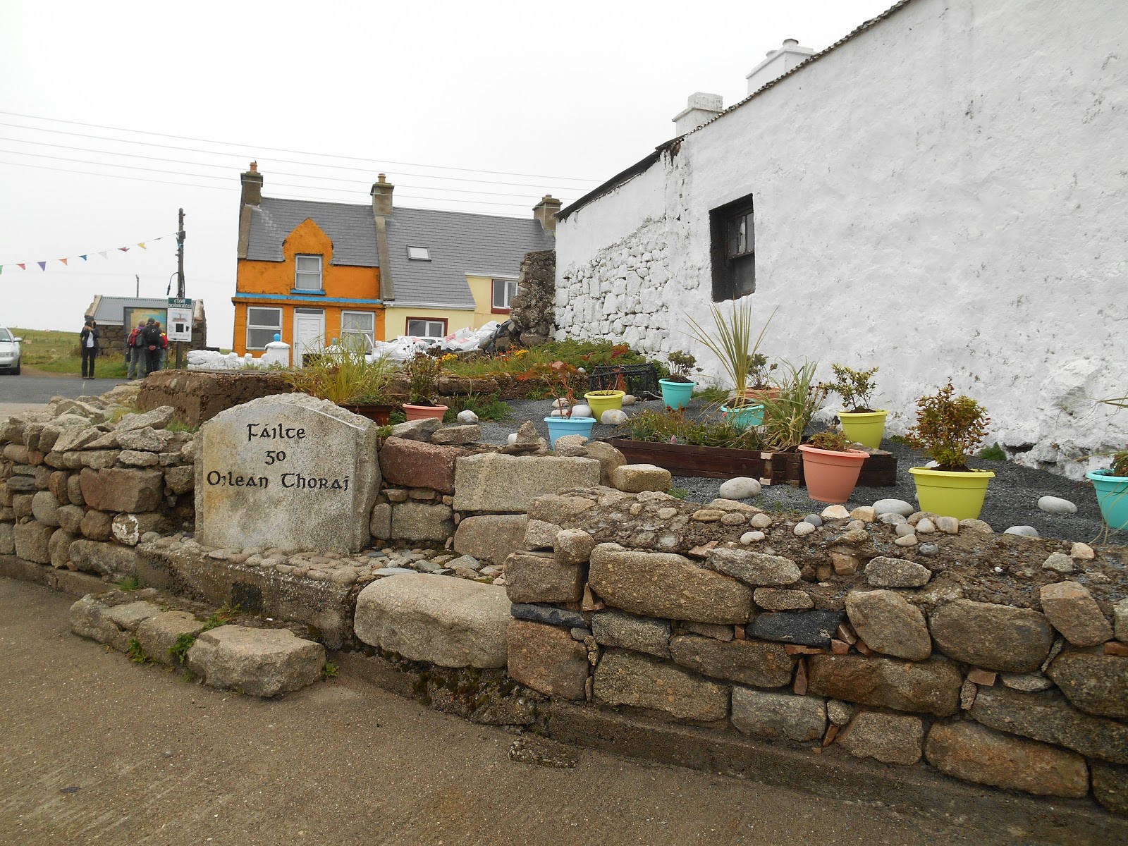
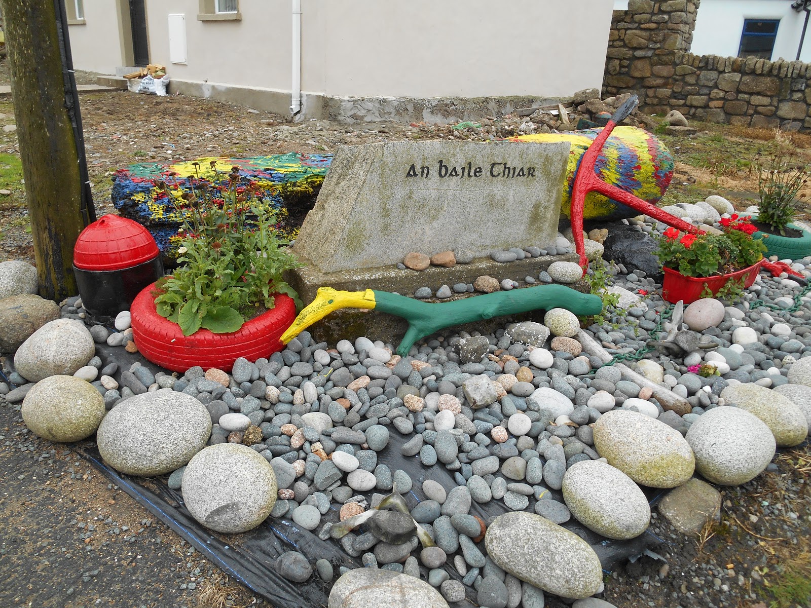
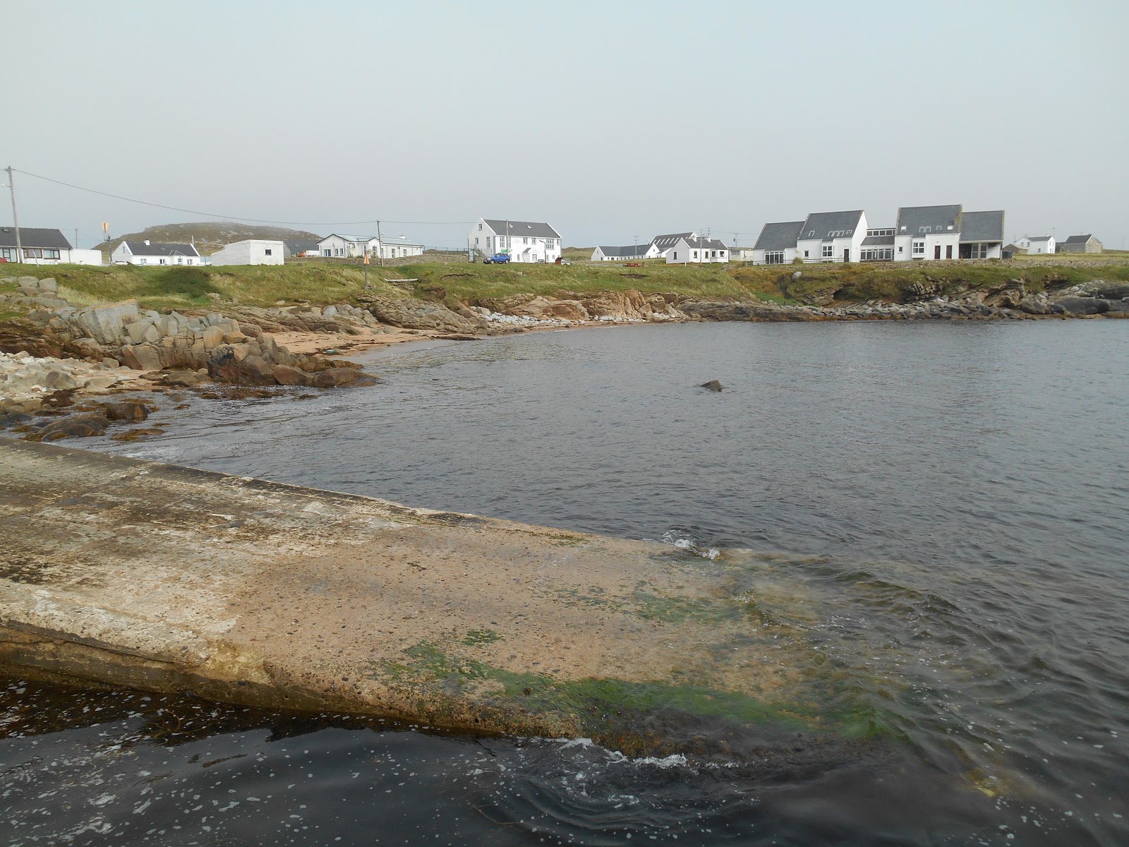
Tory Island (Toraigh or Oileán Thoraí in Irish) is located eight miles to the north of the evocatively named Bloody Foreland on the north west coast of County Donegal. The island is approximately 3 miles from east to west by just over half a mile from north to south. In 2011 the population was 144. The island is part of the Donegal Gaeltacht (Irish speaking area). There are two villages on the island: West Town (An Baile Thiar) and East Town (An Baile Thior).
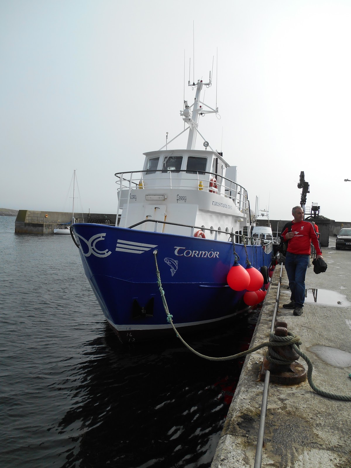
A passenger ferry runs daily in the summer months and 5 times a week the rest of the year from Bunbeg (first sailing of the day) and Magheroarty. There is plenty of free parking at Magheroarty but parking is very limited at Bunbeg. The adult return fare in 2017 was €25 and the journey time is about 50 minutes.
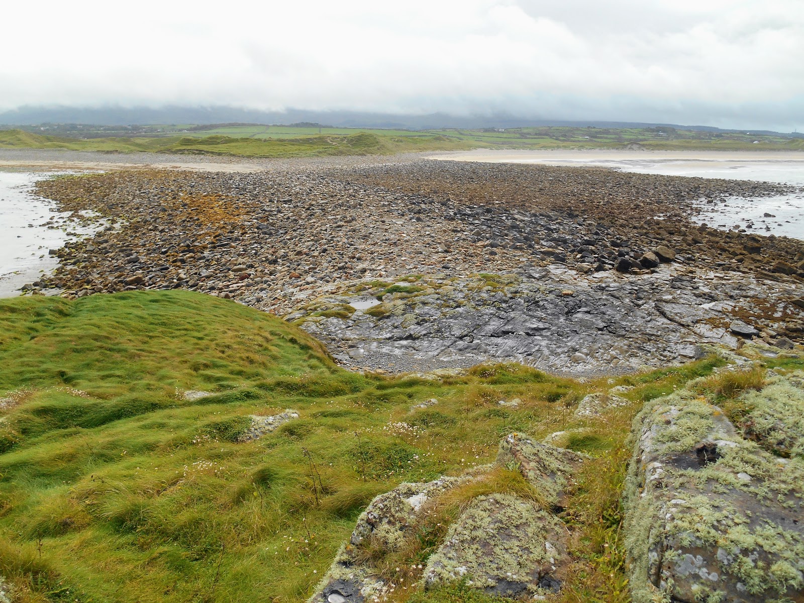
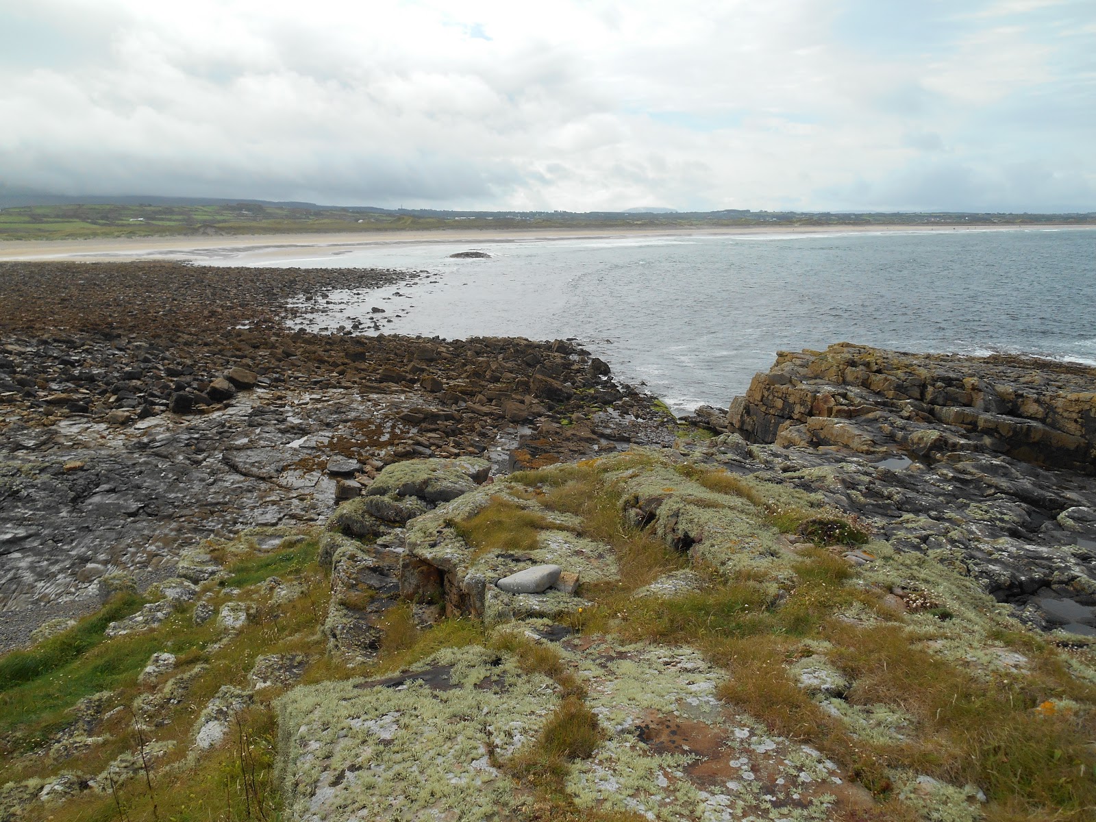
The day I visited in September 2017 was overcast for most of the day with intermittent drizzle, so I didn't see the island at its best until the last 20 minutes before the ferry was due to leave, when the sun finally came out.
There are several information boards at various points around the island explaining the history of the island. There are a few signposts but you can't really get lost on such a small island. Most of the paths are on metalled or stone tracks and most of the island is quite flat. I picked up a couple of leaflets, which marked many of the islands "sights". However all the place names on them were in Irish, so I wasn't always sure what it was I was supposed to be looking for.
These are the main points of interest on Tory:
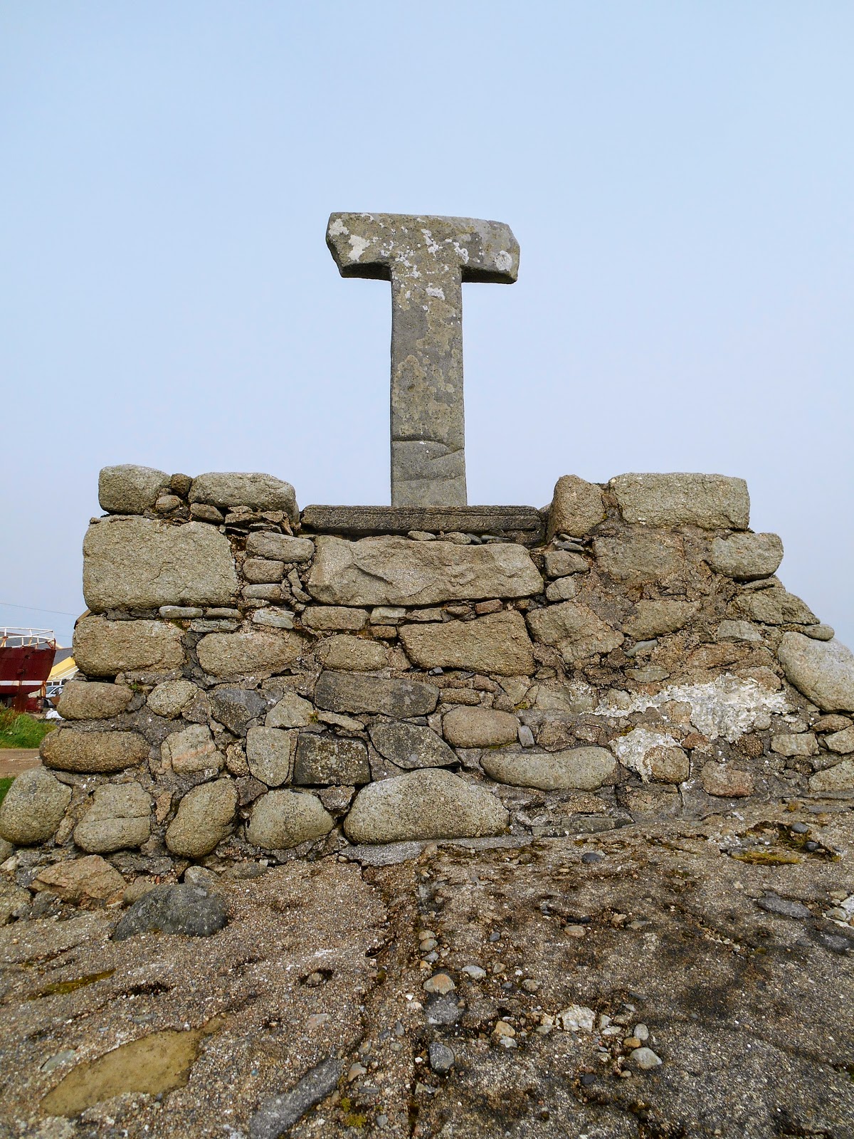
- Tau Cross, West Town. This is by the harbour and is a very unusual T shaped cross, which was carved from one piece of slate. It probably dates from the medieval period and is one of only two tau stone crosses in Ireland. The other one is at Kilnaboy in County Clare.
- Bell Tower, West Town
- St John the Baptist's Altar, West Town. This is located next to the bell tower.
- Church of the Seven. The chapel ruins are at the western end of West Town.
- Church, West Town - this has a statue of Colmcille (St Columba) outside and some beautiful modern stained glass windows inside.
- Lighthouse. The lighthouse and adjacent buildings, which are located at the western end of Tory, were designed by George Halpin and completed in 1832. The tower is 27 metres high and stands on a 13 metre cliff. It was automated in 1990 and remains in use. It has a range of 18 nautical miles.
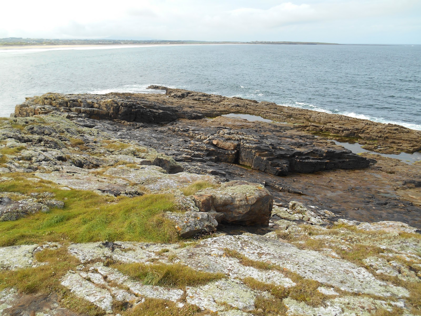
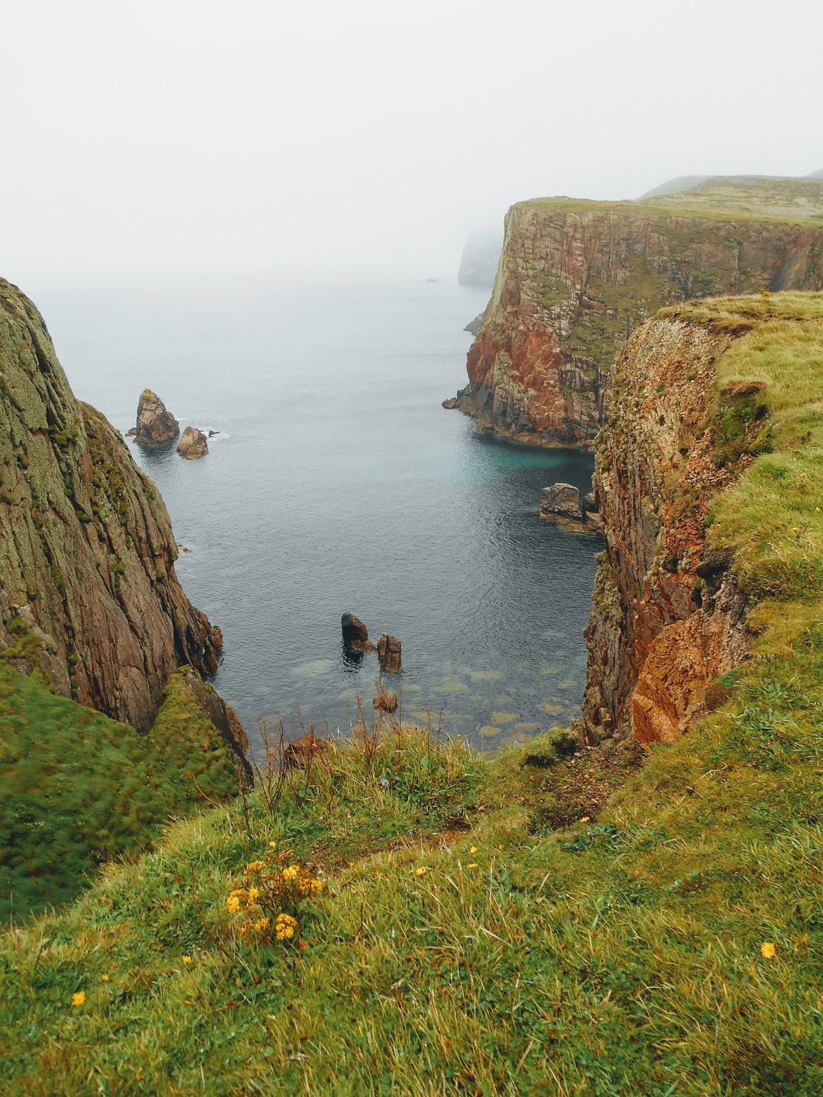
- Cliffs at the north east end of the island and the fort of Dún Bhaloir. There is also a very inaccessible Wishing Stone (Leac na Leannán) there.
- Torpedo - this washed up on the island during the Second World War. After it was made safe it was erected next to the road between West Town and East Town. It is currently painted bright red and you can't miss it.
- Derek Hill's Hut - this is on the north coast to the east of the lighthouse
- Shrines at West Town and East Town
- Hound's stone. This is located on the south coast of the island at the east end of West Town. Legend has it that St Columba was attacked by a dog belonging to Oilill, King of Tory, when he landed on the island in the 6th century. As he made the sign of the cross, the dog leapt to its death in the sea but left a footprint behind on a rock. There is a geocache at the site, which I found, but I couldn't find the hound's footprint.
- An Reilig Ghallda (Foreigners' Graveyard): In 1884 HMS Wasp was on its way to Inishtrahull, a small island to the north of Malin Head, to collect rents and oversee evictions. However the ship was wrecked off the coast of Tory Island. Eight bodies were buried in a small graveyard near the lighthouse.
Tory has a hostel, hotel and a shop/post office. As I walked up to the shop to see if it was open (it said closed in the window but the door was open), a man came out to wipe his shoe and asked if he could help me. I asked if he was open but he just looked at me for a moment and then went inside and shut the door without saying a word and I presumed this meant the shop was closed! Not great customer service!
The service in the hotel bar wasn't much better. I was ignored for 5 minutes by the bar staff and then when a lady finally asked what I wanted, she looked very surprised when I asked for a pot of tea. One of the other passengers I chatted to on the ferry raved about the apple pie but my advice is to take your own food and drink with you. Tory did have a café but it burnt down in 2015.
The only other islander I spoke to was a man in his 20s who started chatting to me as I walked up the main street from the harbour. He was a bit creepy and insisted on telling me about every building we walked by but thankfully after a couple of hundred metres he disappeared into a house and I didn't see him again.
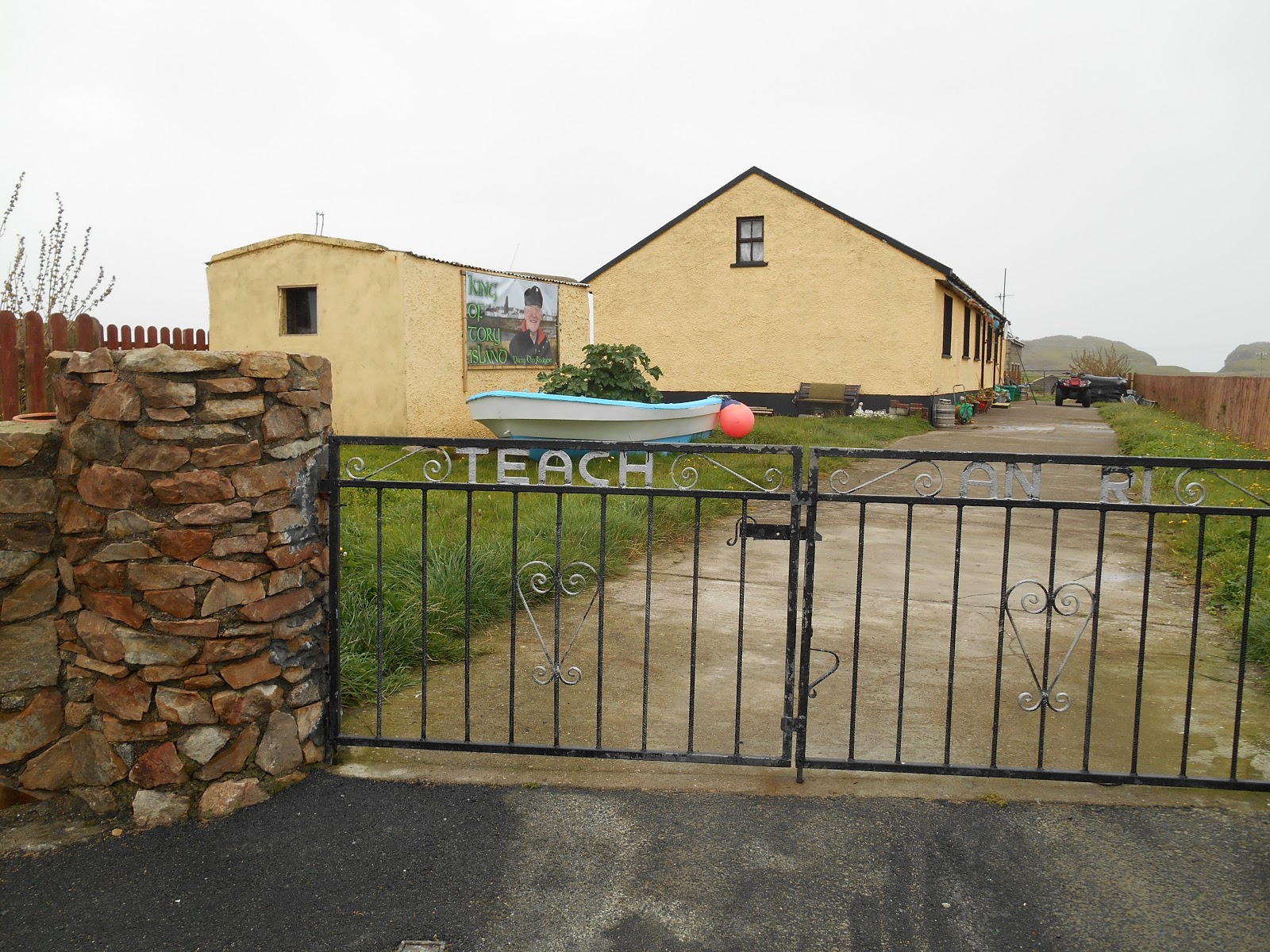
The islanders have a long standing tradition of choosing a "king" to be their spokesman and to welcome visitors to the island. The current King of Tory is Patsy Dan Rodgers, who has been king since 1993. He generally meets visitors arriving on the ferry and the day I visited he was there, as I saw some other visitors having their photo taken with him. He is also an artist and was one of the original members of the Tory School of Art whose patron was the artist Derek Hill.
Tory is one of Ireland's only strongholds for the rare corncrake and some of the meadows on the island are managed for them (the grass is left to grow long).
Welcome to Tory Island
Business premises in West Town
Sculpture in West Town
Shrine, West Town
Home of the King of Tory, West Town
Is it a caravan or a house?
Lighthouse
Lighthouse on a drizzly day
Cliffs at the west end
HMS Wasp Memorial near the Lighthouse
West end of Tory
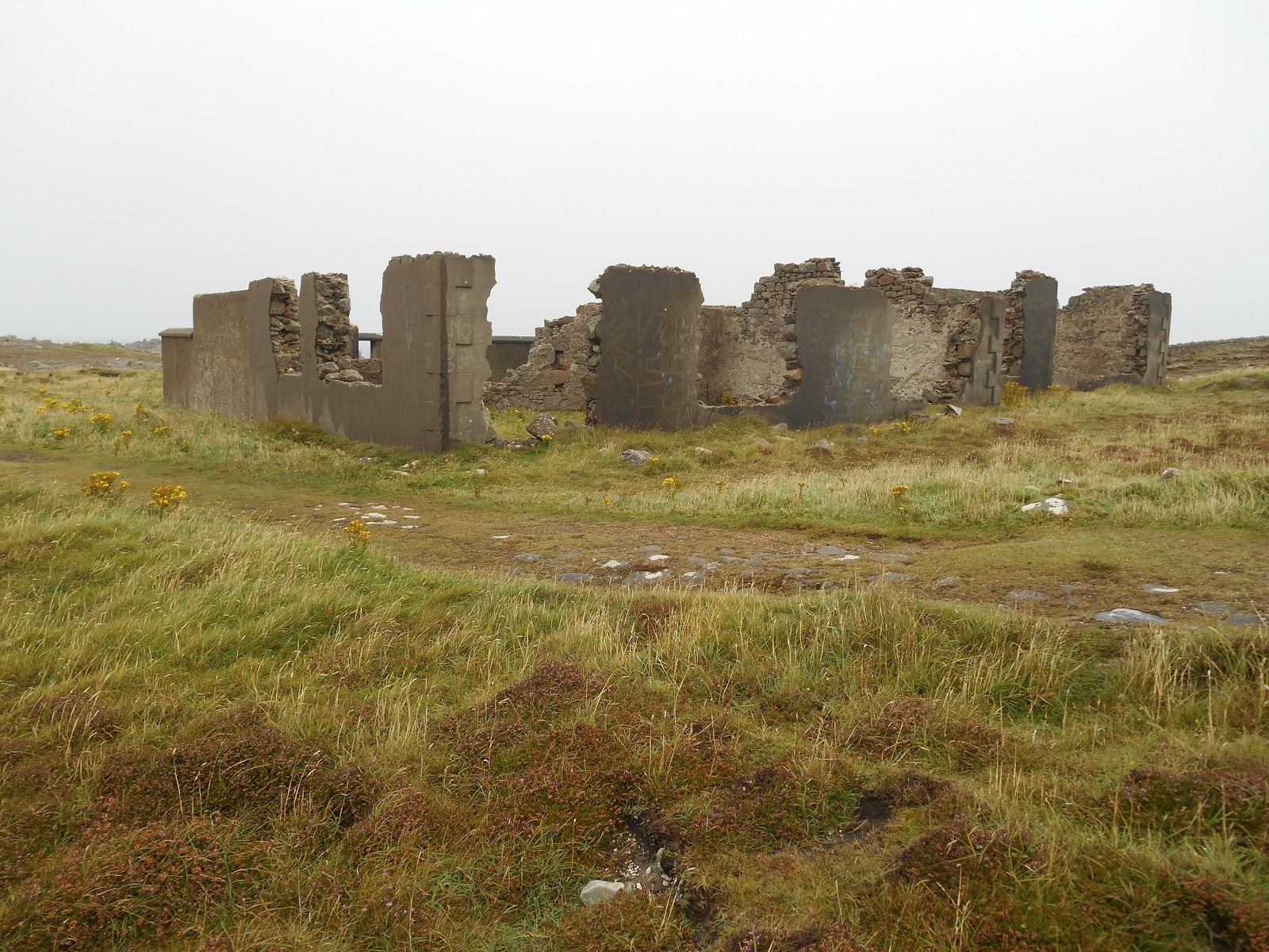
Ruined building near the lighthouse
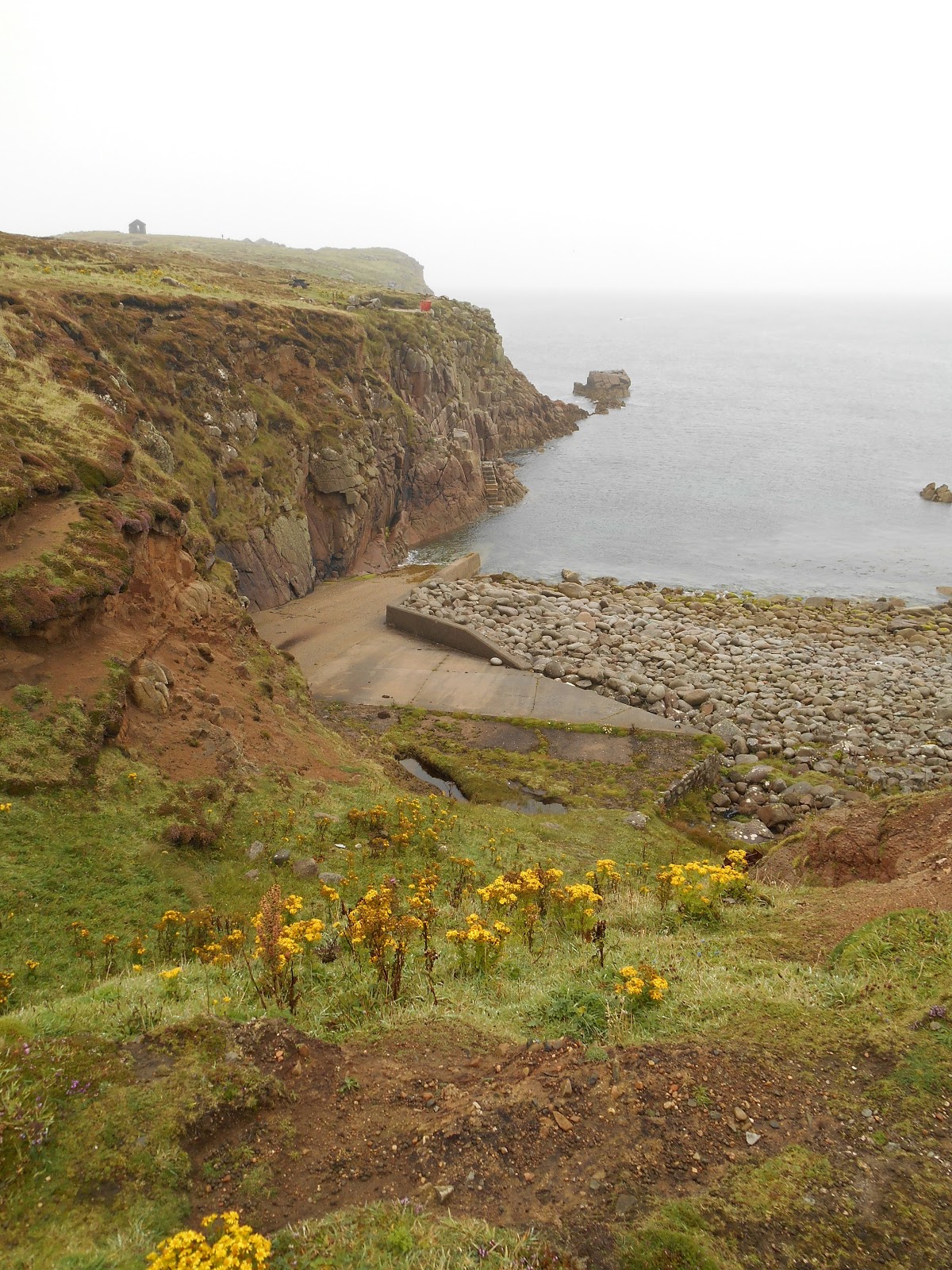
End of the stone road
Small Jetty on the North Coast
Social Club, West Town
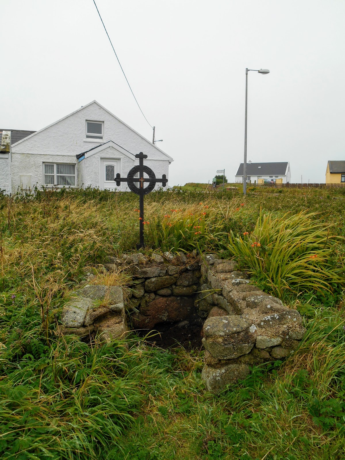
Holy Well, Church of the Seven, West Town
Hostel
St John the Baptist's Altar, West Town
Hotel and Pub, West Town
Church
Statue of Colmcille/St Columba outside the Church
Stained Glass Window in the Church
Stained Glass Window in the Church
Inside of the Church
Torpedo
Shrine, East Town
Cliffs at the North East End of Tory
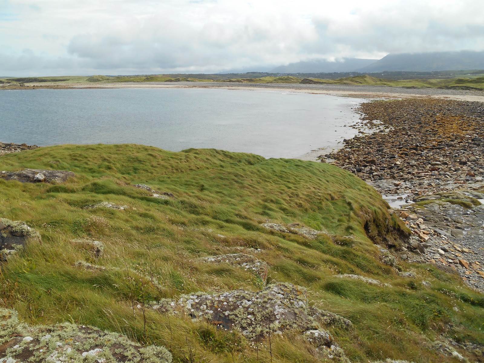
Beach at Port Challa
Old Winch at Port Challa, looking towards a rock stack
Port Challa and Rock Stack
Snowman at East Town
Shop and Post Office
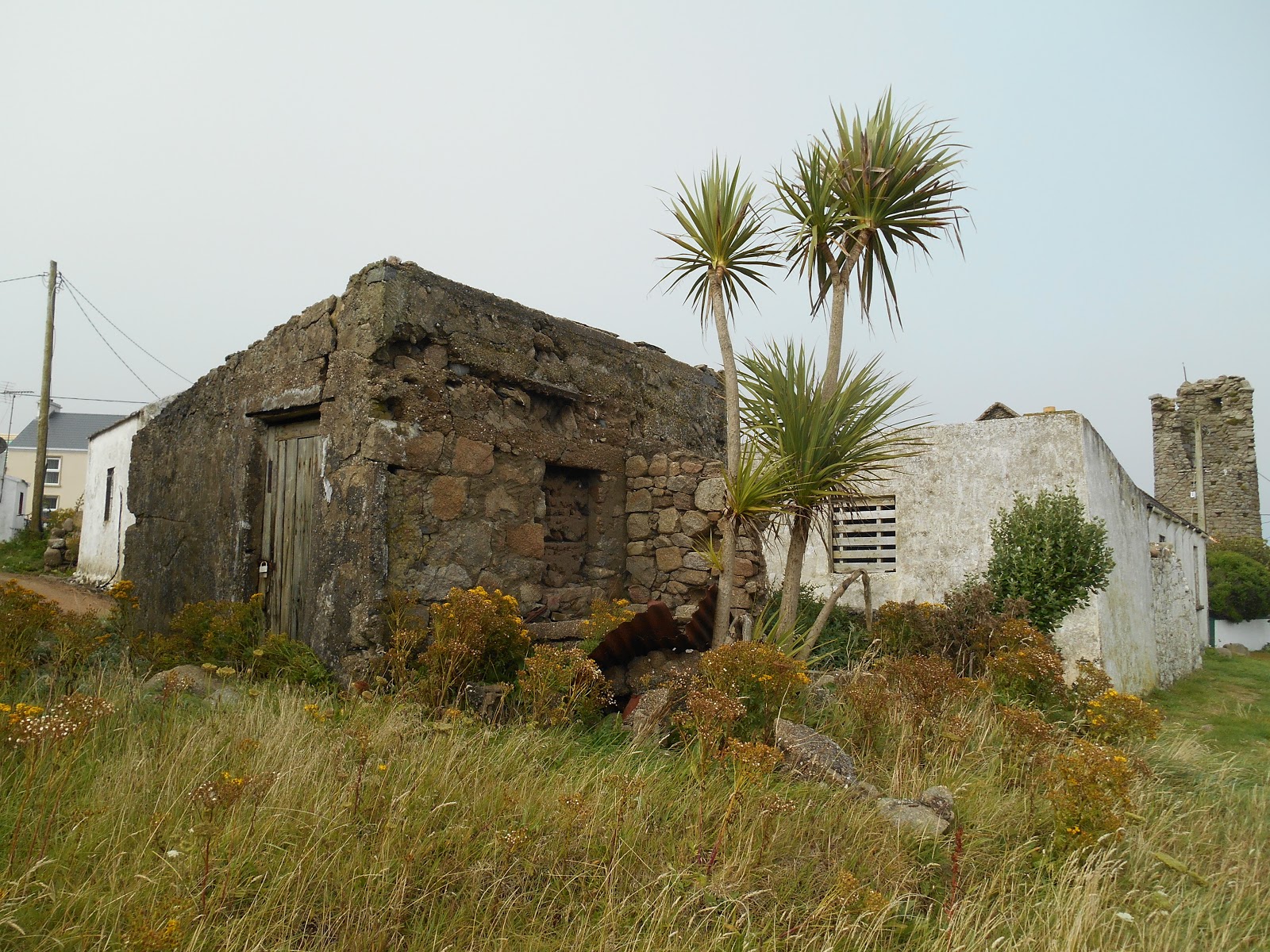
Palm Trees at West Town, Tory
Tau Cross, West Town
Round Tower at West Town
West Town
Tory Island Ferry at West Town Harbour
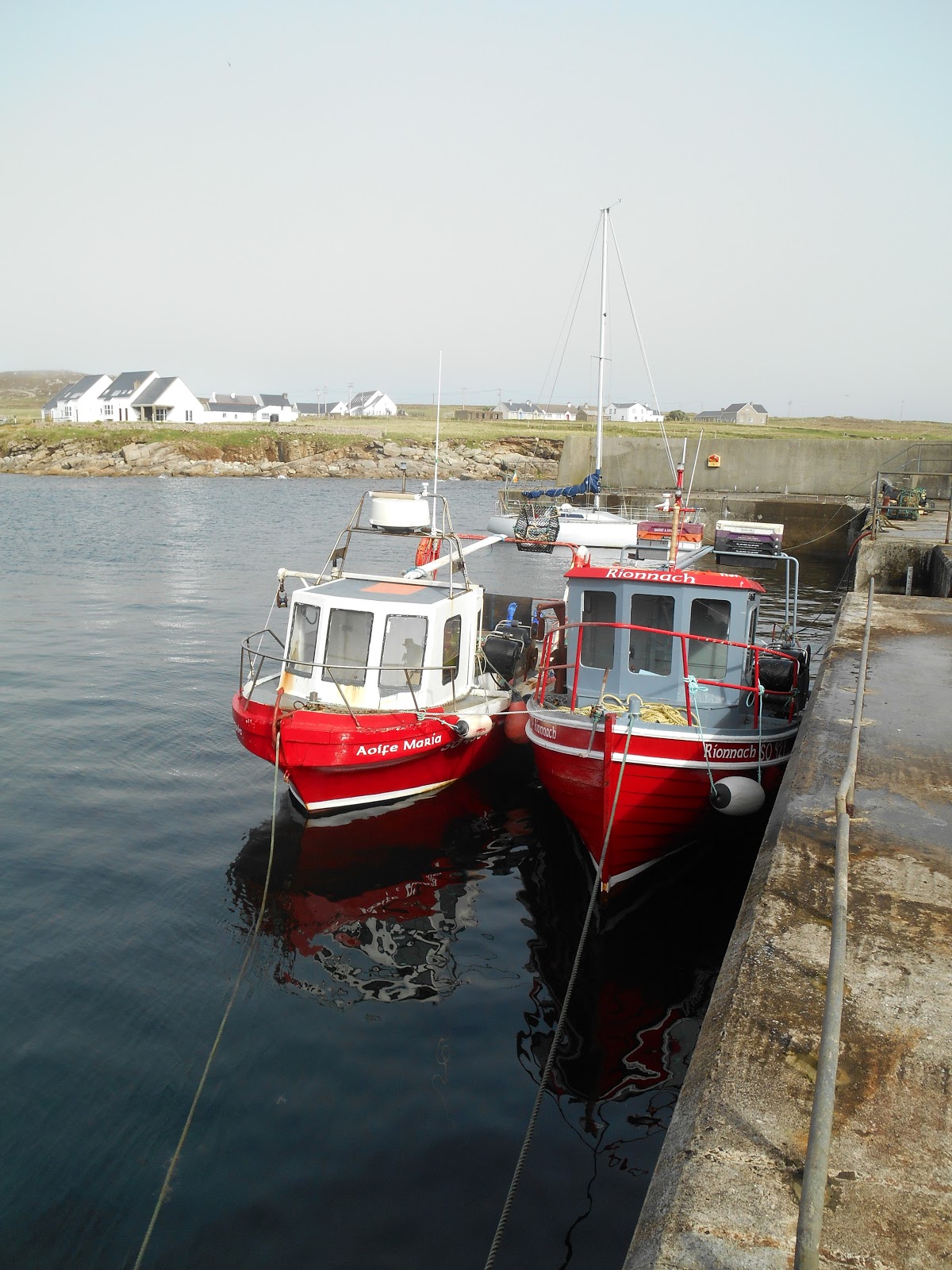
Fishing Boats in the Harbour at West Town