Thursday 29 September 2016

Island 354 - Cape Clear, County Cork

Cape Clear or Oilean Chleire in Irish, is Ireland's most south westerly island.  The north east tip of the island is located 4 miles to the south west of Baltimore with Sherkin Island in between the two points. In 1841, shortly before the Great Famine of 1845-49, Cape Clear had a population of 1052.  This dropped to 601 by 1901 and 124 in 2011.

A ferry runs from Baltimore to Cape Clear 4 times a day in the summer months and twice a day in the winter months.

Cape Clear didn't live up to its name on the day I visited, well not after the first hour.  As we arrived the cloud was covering the top of the island but everything below about 120 metres was visible.  However the fog soon descended almost to sea level. 

There is a Tourist Information Office/Craft Shop at North Harbour and the lady staffing it gave me a useful leaflet with a map of the island.  There is also a public library, Sean Rua's Restaurant and Cotter's Bar at North Harbour.  Cotter's Bar was closed when I visited but Sean Rua's Restaurant, which also has a small grocery shop in it, was open. The man in charge on the day I visited was very friendly, despite my attempts to break his self-service coffee machine and we had a chat about geocaching.  There is a social club called Club Cleire, which I think is located on the floor above Sean Rua's Restaurant.

There is a Heritage Centre in the centre of the island but it is only open June to August, so I was unable to visit it, as it was the beginning of September when I visited.  There is a Goat Farm, which is open to the public near the Heritage Centre, which sells goats' milk ice cream and cheese.   I did visit the public library, which is very small.  The member of staff was too busy having a chat to someone to say hello but I did find a book about wildflowers and so was able to identify a plant I had seen on this and several other nearby islands but didn't know the name of.  It turned out to be goldenrod.  I would have stayed longer in the library, as I had done enough walking for the day and the ferry wasn't due for over an hour, but there were only 2 or 3 seats in the library and they were all occupied.

North Harbour is also the location for the Holy Well of St Ciaran, a grotto, a ruined chapel and adjoining graveyard. St Ciaran is the patron saint of the island and he is said to have been born on the island in the 4th-6th centuries AD. He heard about Christianity from visiting fisherman, converted and lived the life of a hermit before eventually visiting Rome.  On his return he met St Patrick and founded an abbey at Birr in County Offaly.

A lighthouse was built on the cliff top to the east of South Harbour in 1818. However its cliff top location meant that it was often obscured by cloud.  Following the sinking of a ship called the Stephen Whitney on a day in 1847 when cloud obscured Cape Clear Lighthouse, a cast iron lighthouse was built on the Fastnet Rock, which is located about 4.5 miles to the south west of Cape Clear, in 1854.  The lighthouse on Cape Clear was then decommissioned and at some point since then the top floor was removed.  I didn't walk up to look at it, as I wouldn't have been able to see it in the fog.  A plaque, which used to be on the lighthouse, is now located on a wall by the roadside on the way down to North Harbour.  I did come across this.  The lighthouse on Fastnet Rock was replaced with a sturdier stone lighthouse 1899-1904.

There are a couple of waymarked trails around parts of the island. I did the Glen Walk, which is so well waymarked that it would be impossible to lose your way, even in the thick fog.  Sadly I couldn't see the wonderful views of the cliffs and the sea due to the fog.

There are a number of self-catering properties on the island and a Youth Hostel in the old coastguard station at South Harbour.

The one thing I wasn't expecting to find on Cape Clear was a memorial to one of my distant relatives: William Le Fevre.  He died in the 1979 Fastnet Yacht Race Disaster when Ariadne, the yacht he was sailing on got into difficulties.  Cape Clear is the island closest to the Fastnet Rock and so is an appropriate place for the memorial.

A Storytelling Festival is held on Cape Clear each year the first weekend of September.  The island also has an Irish language college.

Cape Clear is an Irish speaking island

1979 Fastnet Yacht Race Memorial
 
Public Library
 
Harbour
 
Old Chapel and Memorial
I don't know what the plaque commemorates, as the writing is entirely in Irish
 
Harbour from the Old Chapel
 
Grotto - Bernadette gazes up at the Virgin Mary
It is a replica of the grotto at Lourdes in France
 
Pillar Stone in front of the Grotto
It is inscribed with several crosses
 
Loch Ioral
 
Signpost giving distances to places around the world
 
Youth Hostel at South Harbour
 
South Harbour
 
Glen Walk
 
Grey dry stone wall covered in white lichen
 

Old Pump
 
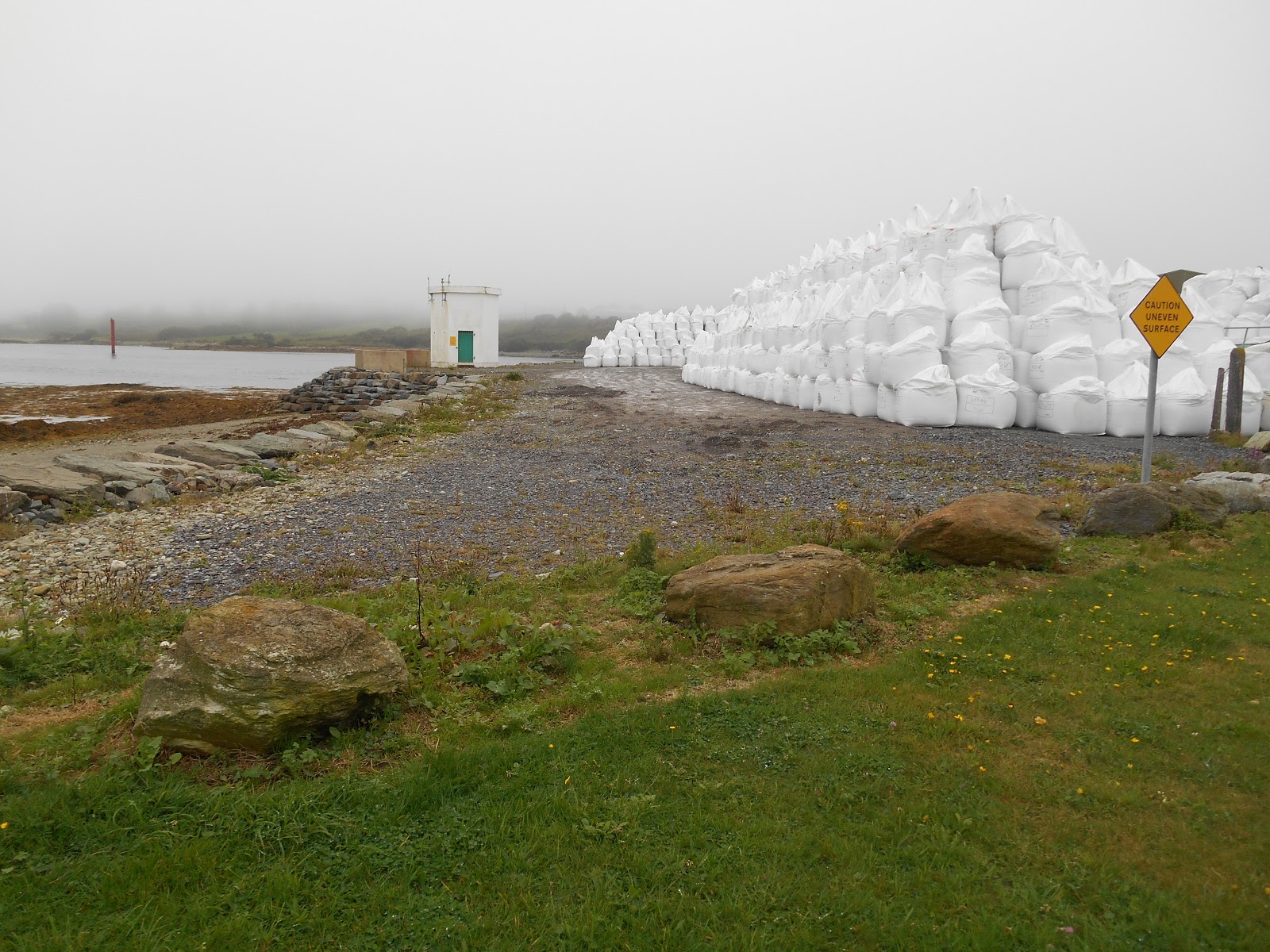
Jetty at the north east end of the island
 
Church
 
Heritage Centre on a foggy day - closed
 
Plaque commemorating the Cape Clear and Fastnet Lighthouses
 
Cotter's Bar - closed
 
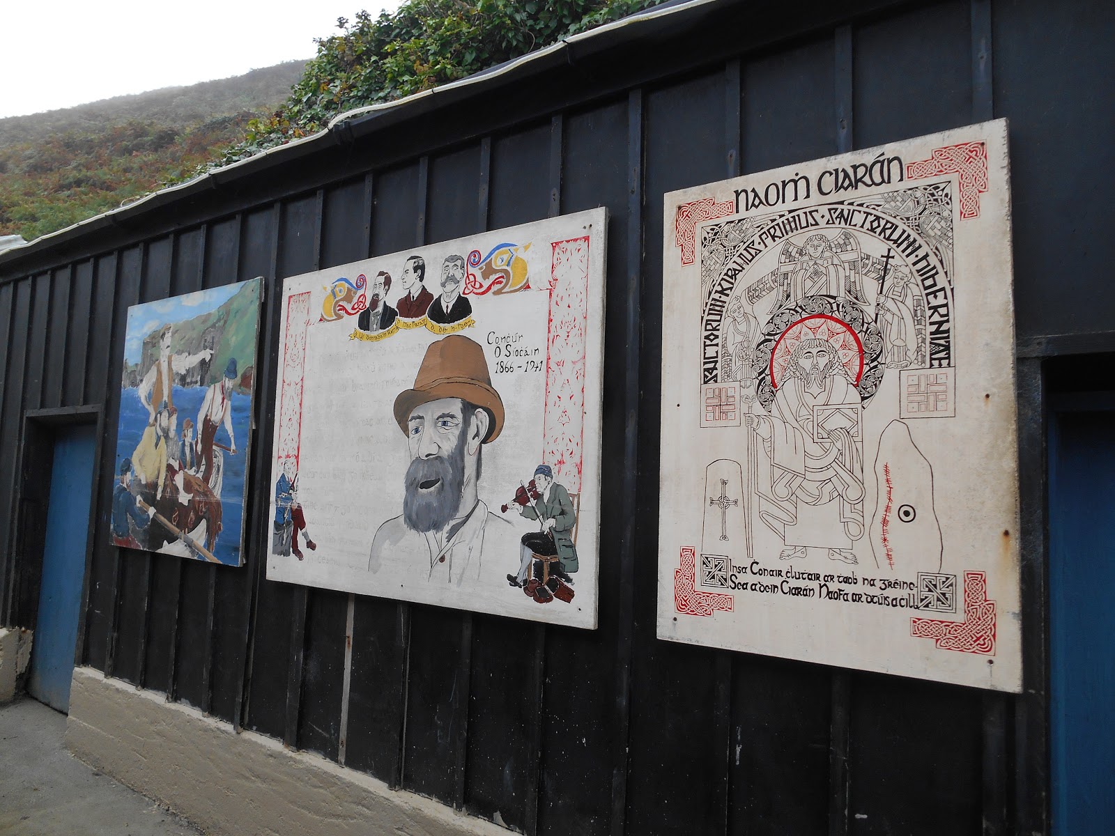
 Murals outside Club Cleire

Holy well of St Ciaran at North Harbour
 
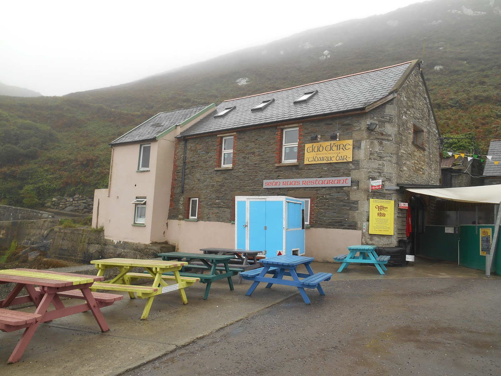
Club Cleire & Sean Rua's Restaurant, North Harbour
 
Stone Mermaid at North Harbour
 
Ferry at Cape Clear

Monday 26 September 2016

Island 353 - Dinish Island, Castletownbere, County Cork

Dinish Island is located to the south east of the town of Castletownbere on the Beara Peninsula in County Cork.  It is linked to the mainland by a road bridge.  The island is roughly oval in shape and is about 700 metres from east to west by 400 metres from north to south. There are no houses on the island: all the buildings are industrial, many of them with links to the sea e.g. the coastguard, seafood processing and sail making.  A circular road runs round the island and it looks as though there are some empty sites for future development.

The coastal strips on the east and south sides of the island are grassy areas.  Oddly there are notices in several places telling visitors to keep off the grass but no indication of why.  Normally these notices are only found in formal gardens with neatly manicured lawns.  They seem a bit unnecessary on Dinish Island, which I don't imagine is overrun with visitors.  The grass looked to be lush but very ordinary. 

At the western end of the island overlooking Bantry Bay there is a large and striking memorial to people who have died at sea in the middle of an area of grass.  I presumed it was okay to tread on this grass, which looked just the same as the grass you aren't allowed to tread on!  The bronze memorial was designed by Barry Linnane and is called "Twilight Haul".  It depicts two fisherman holding a boat aloft.   One of them is looking out to sea, while the other one looks inland.  The memorial was commissioned by the Ministry of Agriculture, Fisheries and Food and was unveiled by the Minister of State Mr Tony Killeen on 29th June 2009.  The memorial is dedicated especially to those people whose bodies were never recovered.  There are two seats and visitors are invited to ‘Please sit, remember and acknowledge those who lost their lives at sea. Quiet and contemplative, a stilled moment, a form of salute, as if time has stood still’

 Please Keep off the Grass
 

 Bridge linking the island to Castletownbere
I had to tread on the forbidden grass to take the photo
 
Coastguard Building
 
Sail maker and repairer
 
 Footpath sign - I can't imagine many walkers include the island in their itineraries!
 
Twilight Haul Memorial looking out into Bantry Bay
It was a very foggy day
 
Twilight Haul Memorial looking inland
 
 Memorial Plaque with names of those who have died
 
Western end of the island
 - I don't know what the contents of all the white bags was

Island 352 - Bere Island, County Cork

Bere Island or An t'Oilean Mor is located on the northern side of Bantry Bay a mile to the south of the town of Castletownbere.  It is served by two small vehicle ferries: Bere Island Ferries from Castletownbere to Derrycreeveen on the north west coast of the island and Murphy's Ferry from a pontoon two miles east of Castletownbere to Rerrin on the north coast and towards the eastern end of the island.  Bere Island is about 6 miles from east to west by 2 miles from north to south.  The highest point on the island is Knockanallig at 267 metres above sea level.  In 1841 before the Great Famine Bere Island was home to 2122 people.  In 2011 the population was 216.

There are more interesting things to see as a visitor at the eastern end of the island, than at the western end.  I had planned to spend a whole day on Bere Island.  However it was so foggy on Dursey Island that I only spent a morning there, which meant I could visit Bere Island on the afternoon of the same day.  However after studying the ferry times I realised that I could only do this by catching the 1.30pm ferry from Castletownbere, as the one from the pontoon left at 1pm and I couldn't get there in time from the Dursey Cable Car.

There is a large café called the Lookout at Derrycreeveen where I landed.  However it was closed.  Thankfully the blackberry bushes were well stocked, so I feasted on them instead.   There is another café, a bar and a shop at Rerrin.  There is a hotel in the middle of the island.

The cloud height on Bere Island was at about 80 metres, so the lower parts of the island were clearly visible.  I only had 2.5 hours, so only had time to walk along the road to the centre of the island and back. 

I visited the Heritage Centre at Ballinakilla, which is free, although donations are invited. It is housed in an old school, which was built in 1857 and burnt down in 1979.  It claimed to have a café but there was no sign of this inside the building.  There were two men at the entrance so deep in conversation that I don't think they noticed me.  The exhibition on the history of Bere Island is comprehensive, well illustrated and very clear and concise.  I could happily have spent an hour or two reading all the information but I was aware I didn't have that long to spare, so just skimmed through it and checked if there were any important historical sites in the vicinity of the Heritage Centre, which I had time to visit. 

I chose the 3 metre high Gallan Standing Stone, which is located in the centre of the island on the lower slopes of Knockanallig.  However it was so high up the hill that it was shrouded in thick fog.  I walked as far as the cairn with a plaque giving information about it on the road below it.  I could just about make out the standing stone in the fog. Oddly there didn't seem to be a route to the stone from the cairn and I decided it would be too foggy to take a decent photo of the stone anyway, so I turned back at this point.

Places of interest, which I didn't have time to visit include:

  • Two Martello Towers.  These were built by the British around 1805 at which time it was believed the French might try and invade.  There were originally 4 Martello Towers on Bere Island but only 2 are still standing at Ardagh and Cloughland.

  • Ardnakinna Lighthouse at the western end of the island.  This was built in 1965.  I would like to have seen it, as I love lighthouses.  However a couple I met on the island and chatted to on the ferry on the way back to Castletownbere said they had spent the day walking the Bere Island section of the Beara Way, which includes Ardnakinna Point and that they had only just been able to make out the lighthouse in the fog, so I was glad I hadn't bothered.

  • St Michael's Church and Graveyard on the north coast at Ballynakilla.  The church was built in 1843 and enlarged in 1900.  The graves are of both Catholics and Protestants, Irish and British.  There are some British military graves.

  • St Michael's Holy Well on the slopes of Coomastooka

  • Lonehort Battery at the eastern end of the island.  Work on this began in 1899.  It was built by the Royal Engineers for the British Army.

  • Holy Year Cross on the top of Knockanallig.  This was erected in 1950 and an annual mass is held there each year in August.

  • Ardaragh Wedge Tomb - this is thought to date from the early Bronze Age.

  • Dun Beag Promontory Fort at the most southerly tip of the island

  • The Signal Tower.  A chain of signal towers was built across the west coast of Ireland by the British from 1804-8.  The one on Bere Island communicated with similar towers on Sheep's Head and Blackball Head by means of a signal mast.


Castletownbere - Bere Island Ferry
 
Welcome to Bere Island
 
Café - it looked lovely but it was closed!
 
Shrine near the ferry
 
Bere Island Primary School at Ballinakilla with colourful murals
 
Disused building next to the school with trompe l'oeil windows
 
Tree planted to commemorate the opening of the Bere Island Heritage Centre by Irish President Mary MacAleese in October 2010
 
Heritage Centre
 
Hotel
 
 Gallan Standing Stone Information Plaque
 - the stone itself is just visible in the distance in the fog
 
View Point with Seat
 
I thought this fence post looked like a human figure
 - I can see a head with one eye and a mouth. 

Sunday 18 September 2016

Island 351 - Dursey Island, County Cork

Dursey Island is the only island in the British Isles, which is connected to the mainland by a cable car.  Sadly I visited on a day when it was so foggy that you couldn't see the island from the mainland and could only just see the sea from the cable car.  It was my first ever trip in a cable car and it was a slightly surreal experience disappearing into the mist!

Dursey Island is located at the western end of the Beara Peninsula and is separated from it by the Dursey Sound, which is only about 200 metres wide at its narrowest point.  The island is 3 miles long by a mile wide. The Irish name for the island is Oilean Baoi, which in Old Norse means "the island of the bull".

There is no shop, hotel or café on the island, so you need to take your own food and drink.  I didn't see a public toilet on the island. There are a couple of self-catering cottages.

The cable car service began in 1969.  It was an attempt by Cork County Council to stop the depopulation of the island.   However it didn't work because in 2011 there was a resident population of 3, compared to 96 in 1951 and 358 in 1841. Most of the houses I saw looked to be in a habitable condition, so presumably they are the holiday homes of mainland dwellers.  I travelled in the cable car to Dursey Island with a man who lived on the mainland but also had a house on Dursey, which he said he visited a couple of times a week.  He told me that twice a year a ferry is chartered to visit the island and transport cars, bulky good and livestock.  

The cable car carries up to 6 people at a time.  It used to also transport one cow at a time but it no longer carries livestock.  It runs all year round but fewer times a day during the winter months.  The journey time is about 8 minutes.  It is not possible to pre-book tickets and I understand that it is very popular in the summer and that on busy days numbers of visitors are limited, due to the restricted capacity of the cable car.  Oddly enough there was no queue when I visited on a very foggy Tuesday in early September.  There is a large car park at the mainland end of the cable car.  You cannot take a bicycle on the cable car.

A circular section of the Beara Way long distance footpath is on Dursey Island.  There is a high level path over the hills and the return section is along the metalled road.  As it was so foggy when I visited, there was no point in walking the high level route, so I just walked along the road for a couple of miles and then turned round and walked back.  At several points I could hear the waves crashing on the rocks at the bottom of the cliffs.  However I couldn't see the sea or the rocks because of the thick fog.  I could see the wild flowers and spotted ragwort, sheep's bit scabious, tormentil, heather, buttercups, clover, gorse and foxgloves.   There were also plenty of blackberries to ear.  Sheep and cattle were grazing in some of the fields.

Dursey originally had three villages or townlands.  The village at the western end was Tilikafinna, and those at the eastern end were Kilmichael and Ballynacallagh

In 1602, during the Nine Year's War (Irish chieftains and their allies attempted to end the rule of the English over Ireland) the 300 inhabitants of Dursey, who were members of the O'Sullivan Clan were massacred by the English.  This event became known as the Dursey Massacre.

A signal tower was built on the highest point  (252 metres) on the island during the Napoleonic Wars.

Cable car on its early morning test run
 
Cable Car at the mainland end
 
Ruined chapel and graveyard
 
Slipway and Jetty at the north end of the island
 
Fishing Boat
 
 Fisherman's Hut
 
Two of the island's residents
 
Stone picnic bench and table
At least it won't blow away in a gale!
 
 Welcome to Dursey sign at Ballynacallagh
 
Old Pump at Kilmichael
 
A typical Dursey House (in the fog!)
 
Beara Way Signpost
 
Spotty house in the fog
 
Car park at the Dursey end of the cable car
 
Waiting Room?
It was full of bales of wool when I visited, so couldn't be used as a waiting room
 
Cable car approaching Dursey in the fog
 
Cable Car at Dursey Island end
 
Cable Car
 
 
Long list of terms and conditions.  I wonder what no 24, which is now blacked out, once said?