The islands were bought by the local council in the 19th century for use as a public park. The first footbridges to the islands were chain suspension bridges, which were built in 1829. However they were not well maintained and were washed away during a flood in 1849. They were replaced c1853 by suspension bridges designed by the engineer James Dredge. These survived until 1987 when they were replaced by the current Victorian style bridges. The bridges can be closed off when the river is in flood.
General's Well can be seen on the west bank of the River Ness just to the south of the General's Well Bridge. It is named after General Macintyre, who lived at Bught House and drank the water from the well every day and believed it had health giving properties. The well is thought to have early Christian significance.

General's Well Bridge
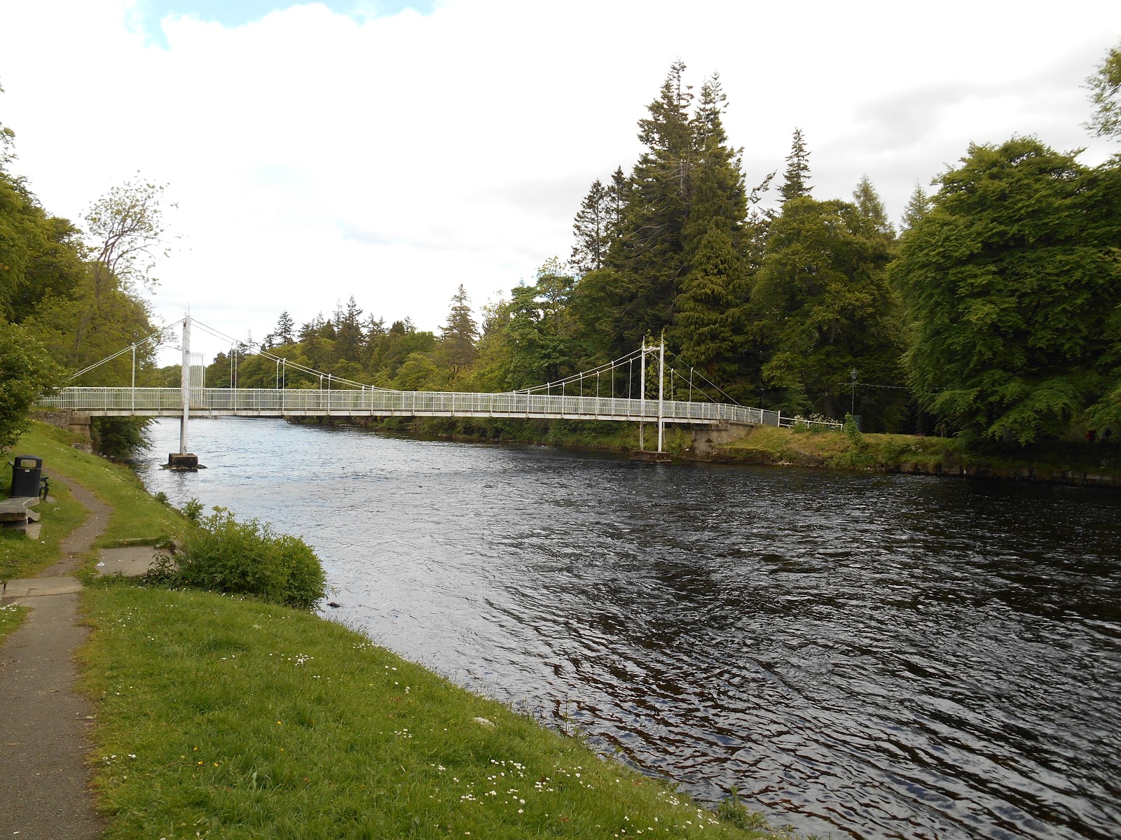
General's Well Bridge from the west bank of the River Ness

General's Well on the west bank of the River Ness

Laburnum tree in flower on the southern island

Bridge linking the two islands

Decorative Seat
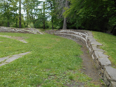
Stone Seating

Very tall tree

Another decorative seat

Island Bank Road Bridge

Island Bank Road Bridge