Tuesday 30 June 2015

Island 275 - Holm of Grimbister, Orkney Mainland

Holm of Grimbister is linked to Orkney Mainland a mile to the east of Finstown by a 200 metre long seaweed covered causeway, which I suspect is partly natural and partly man made.  Low tide in the Bay of Firth is an hour or so later than that in Scapa Flow, so I managed to visit Holm of Grimbister on the same low tide as my visit to Holm of Houton.  It was pouring with rain, which made the causeway even more slippery.  Two thirds of the way across there is a farm gate.  It wasn't locked but I couldn't undo the knot that was tying it shut, so I climbed over the gate.  There is a house on the island but I think it might not be lived in all the time, as the causeway didn't look like it was used very often and no one came out to say hello or to tell me to go away.  I kept to the outside of the barbed wire fence that runs round the island and didn't approach the house.  There were sheep grazing in one of the fields and some buttercups in flower.

Farmhouse on Holm of Grimbister
  This boat won't be going anywhere in this state!

 Orkney Mainland from Holm of Grimbister

 Holm of Grimbister

Causeway to Holm of Grimbister from Orkney Mainland

Island 274 - Holm of Houton, Orkney Mainland

I wasn't sure whether Holm of Houton would be accessible on foot at low tide.  I arrived a couple of hours before a low spring tide and the causeway was clear except for a few shallow pools.  It was pouring with rain, which made the rocks slippery.   The water in the pools was about an inch or so deep and didn't come over the top of my walking boots. The island is about 400 metres from north to south by 600 metres from east to west. The highest point on the island is 11 metres above sea level.  The island is uninhabited and mainly covered in rough grass and bog.  A small ruined building, possibly an old barn, is located on the north east coast of the island. The nearest parking is at the ferry terminal at Houton about half a mile north east of the island.

 Ruin on Holm of Houton.  It looks too small to have been a house.  Maybe it was a barn

 Ruin on Holm of Houton
 Iris and cuckoo flower in flower on Holm of Houton.  Looking north west towards Mainland

 Causeway that link Holm of Houton to Mainland.  Looking north from Holm of Houton

 
Holm of Houton from Mainland

Island 273 - Outer Holm, Orkney Mainland

Outer Holm is an uninhabited tidal island, which lies to the south of Inner Holm.  It is joined to Inner Holm at low tide by a stony causeway, which is about 200 metres long and very easy to cross.  The island is covered in lush grass and is surrounded by a barbed wire fence, presumably to keep grazing animals in, although there were none present when I visited in mid June 2015Outer Holm is slightly larger than Inner Holm at about 400 metres from north to south by 200 metres from east to west.  The highest point on the island is 8 metres above sea level.

 Outer Holm with Inner Holm beyond from the Scrabster to Stromness Ferry
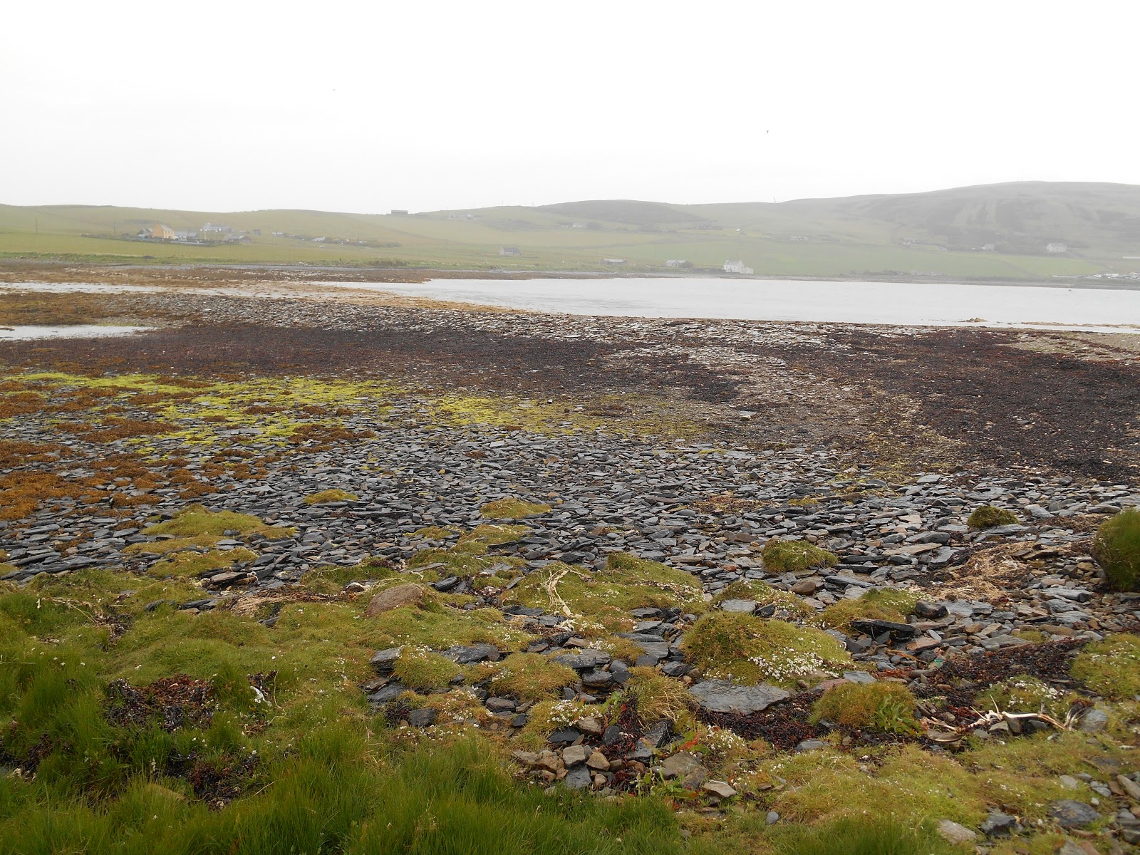
 Causeway from  Inner to Outer Holm.  The mountains of Hoy can be seen in the background

 At some point in the past someone has gone to a great deal of trouble to construct a stone wall around part of the Outer Holm coastline.
 Outer Holm

 Outer Holm

Low cliffs on the eastern side of Outer Holm.  Looking south, thrift in flower.

Island 272 - Inner Holm, Orkney Mainland

At last, my 2015 island collecting season has begun.  

Inner Holm is a small tidal island located on the eastern side of Hamnavoe, as the harbour at Stromness on Orkney Mainland is called.  There is one house on the island.  I walked the 200 metres across the sand/stones/seaweed at low tide from the landward end of the new jetty at Copland's Dock.  I arrived on the ferry from Scrabster about half an hour before low tide and Inner Holm was the first place I stopped.  The sand still had some pools of very shallow water covering it but I could see a car on Inner Holm and figured that if the sands took the weight of the car, they were unlikely to swallow me up.  In order to avoid disturbing anyone who might have been at the house, I kept to the outside of the island just outside the fence that runs around the whole island.  No one came out and said hello or shouted at me to go away, so I ventured across to Outer Holm as well.  

Inner Holm is about 250 metres long from north to south and 150 metres wide from east to west. The highest point on the island is 7 metres above sea level. Its location helps to protect the already sheltered harbour of Stromness, which is where the vehicle ferry from Scrabster in Caithness arrives.  Inner Holm is covered in lush grass but there were no animals grazing it when I visited in mid June 2015.  Bird's foot trefoil, thrift and cow parsley were in flower. 

Although there is a large car park at Copland's Dock, it is not a public car park.  I parked my car about 500 metres to the north at the end of the public road.

 Inner and Outer Holms are hiding behind Copland's Dock
 
Inner Holm looking north towards the house
 I'm not sure what this used to be in an earlier life.  Outer Holm from Inner Holm

 
 Small jetty on Inner Holm and the house

 
 House on Inner Holm
 Inner Holm from Mainland