Raasay is a lovely island, which welcomes walkers. There are at least a dozen walks on the island, which are waymarked. It is accessed by a CalMac vehicle ferry from Sconser on Skye to Clachan at the south western end of Raasay. The ferry takes about 12 cars and you cannot book it in advance. Monday to Saturday there are hourly departures but there are only 2 ferries on a Sunday.
Raasay is very interesting if you are a geologist. The southern part of the island is generally composed of Torridonian sandstones and shales with 2 areas of granite while the northern part is mainly made of very old Lewisian gneiss. The highest point on the island is Dun Caan, which has a distinctive flat top and is 443 metres high.
Raasay was owned by the MacLeod's from 1518-1843 when they sold it to George Rainy of Edinburgh. He evicted more than 100 families from the more fertile areas in the south of the island to make way for a sheep farm and game reserve. The villages he cleared included Hallaig and Screapadal. Many islanders emigrated and the remainder were banished to eke out a living at the less fertile north end of the island and on the tidal islands of Fladda and Eilean Tigh or on the rocky island of Rona to the north of Raasay. George Rainy constructed a dry stone wall across the island at its narrowest point to separate his farm and game reserve from the remaining islanders. They were not permitted to live or graze their animals to the south of the wall.
Between 1872 and 1912 the island had a succession of unsympathetic landlords. It was bought by the mining company Baird & Co in 1912 but they sold it to the government in 1922. Raasay House was sold to Dr John Green in 1960 but he only visited once. He allowed the house to fall into disrepair but refused to sell it until 1979 when he sold it to the Highlands and Islands Development Board.
Raasay House has operated as an activity centre since 1984. It was undergoing a complete refurbishment when it was gutted by fire in January 2009 and it is currently being rebuilt. In the meantime the Raasay House Activities Centre is operating from Borodale House Hotel.
Bonnie Prince Charlie hid on Raasay in a hut after his defeat at the Battle of Culloden in 1746. He then went on to Loch Broom. However the islanders suffered as a consequence. After he had gone government troops destroyed homes and boats and killed some of the islanders
There is one main road on Raasay, which runs from Eyre Point in the south east via Inverarish to Arnish in the north with a spur going off eastwards at Inverarish to Fearns. However the road surface in most places is appalling. Ironically there is a 30 mile an hour speed limit in Inverarish, although that is the only part of the island you would dare to drive as fast as that, due to the large number of large potholes along the other roads on the island!
There is a shop at Inverarish but I never found it. I did however find the hotel, which also acts as a bar and café and I had an excellent piece of cake and a coffee and very friendly service. The hotel also has information about the island displayed on the walls and leaflets to take away. You cannot buy petrol on the island.
There used to be 8 families living at Arnish at the northern end of the island in the mid 20th century but despite several petitions the council refused to build them a road between Arnish and Brochel. One of the residents of Arnish was Calum MacLeod. He bought an old book on road building and over a period of more than 10 years from about 1966 he built one himself by hand. He got through 6 picks, 6 shovels, 3 wheelbarrows, 4 spades and 5 sledgehammers. By the time he finished he and his wife were the only residents left. The council finally tarmacked it in 1982. Apart from some help with blasting through some sections to form the foundations and create aggregate, which the Department of Agriculture paid for, he did all the work himself. Calum died suddenly in 1988 and now resides permanently in the cemetery above Inverarish. His road is in better condition that the rest of the roads on Raasay, which are full of potholes. His story has been told in full in the book Calum's Road by Roger Hutchinson. One of my favourite instrumental pieces by the Celtic folk group Capercaillie is called Calum's Road in honour of Calum MacLeod and yes I did play the CD while driving along his road!
There is a notice outside the playground at Inverarish, which says 'Please do not use this playground on a Sunday'. The influence of strict Protestants is presumably still great here.
Shorter walks on the island include a walk from the road down to Inver Beach, which is sandy at low tide. The Queen had a picnic there once when she was visiting the area on the Royal Yacht Britannia. Another interesting walk, which is on my list for my next visit, is from the end of the road at North Fearns to the clearance village of Hallaig and a waterfall.

Calum's Road
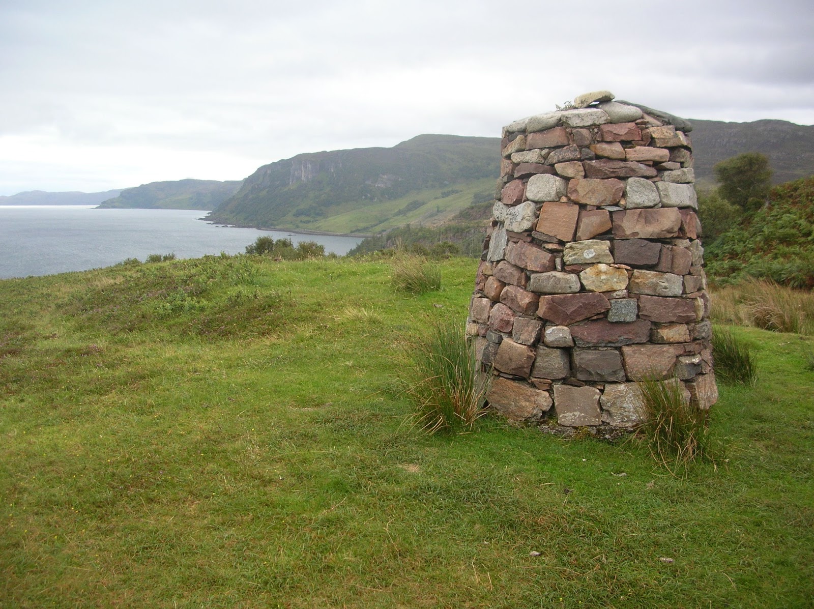
Calum's Memorial
Start of Calum's Road at Brochel
The wheelbarrow is a fitting memorial
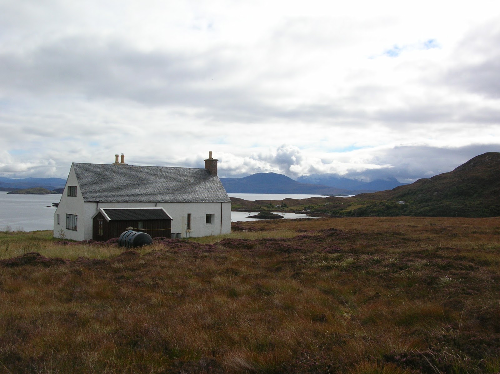
North Fearns
Smart new ferry terminal at Clachan
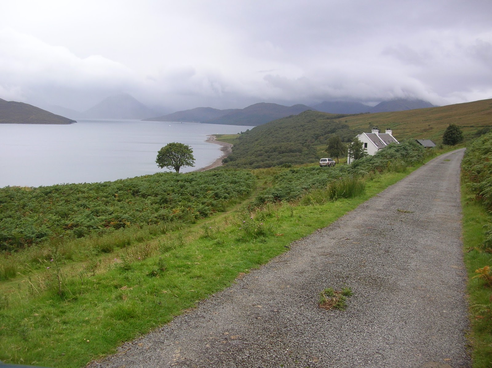
Alan Evans Memorial Youth Hostel - an excellent place to stay - great views
 |
| Jetty near Battery |
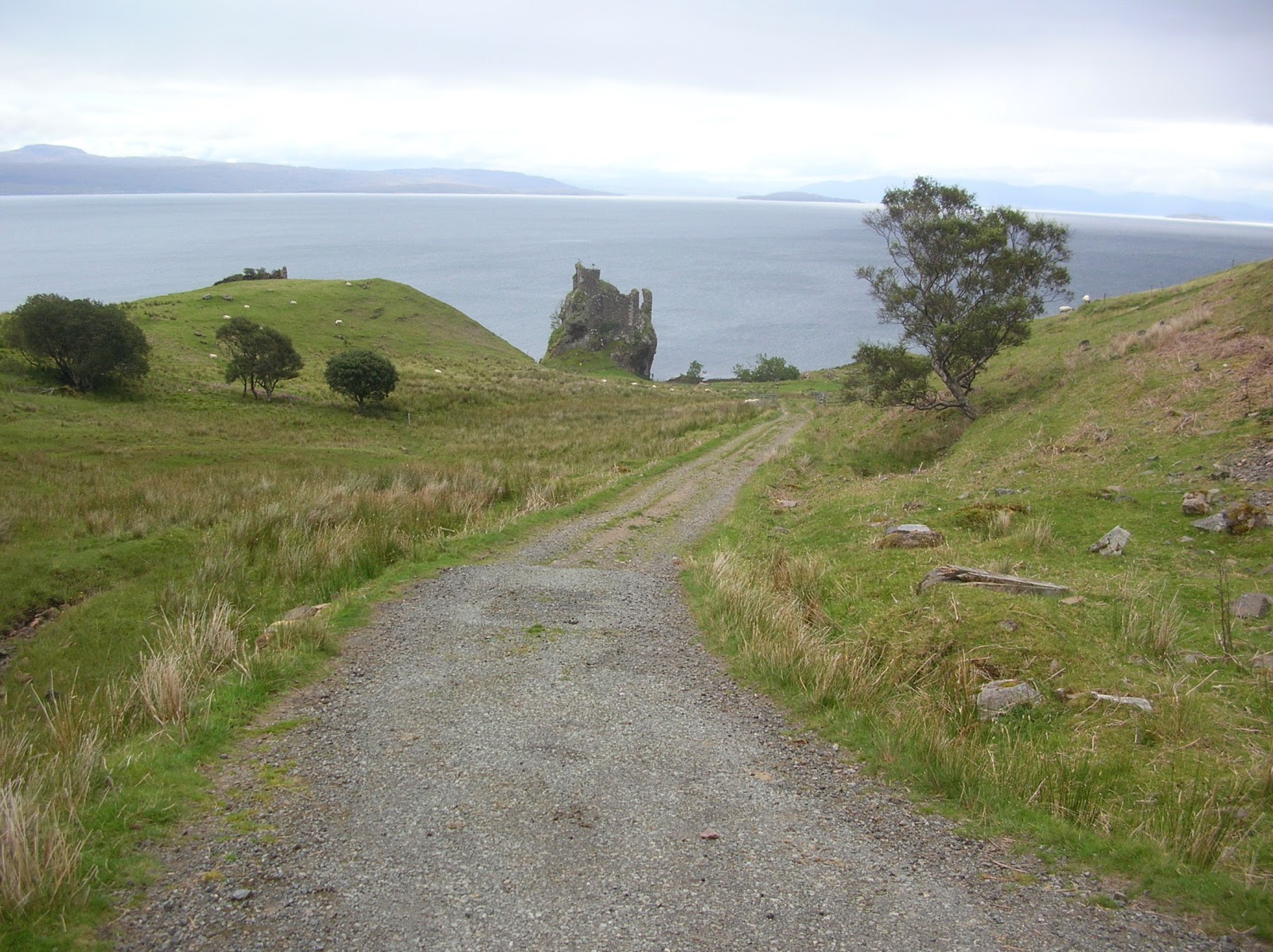
Brochel Castle - NE coast
Prisoners of War Gravestone
2 German POWs died of flu in the post 1st World War outbreak - their bodies were eventually repatriated to Germany, which is why their gravestones are not in the actual cemetery.
St Moluag's Chapel
CalMac Ferry at Sconser
Small lighthouse at Eyre Point
One of Raasay's 2 Mermaids!
Battery - cannon emplacement on a knoll - built in 1807.
The other mermaid
Old Jetty at Suisnish on the SW coast
- I didn't know you could rent a jetty to be delivered to a coast of your choice! The CalMac ferry moved from here to Clachan in 2009
Old railway to the mine
Baird & Co opened an iron ore mine on Raasay in 1914 and used German Prisoners of War to work in it but it had closed by 1919 because it was uneconomic. There was a railway from the mine on the hill above Inverarish down to the pier at Suisnish.
Inverarish
This is the main settlement on the island. It was partly built by the mining company and is surrounded by deciduous and coniferous woodland.
I'm not sure I would want to drink from this well unless I was desperate but someone had kindly provided a mug! It is at Torran - on the way to Fladda


